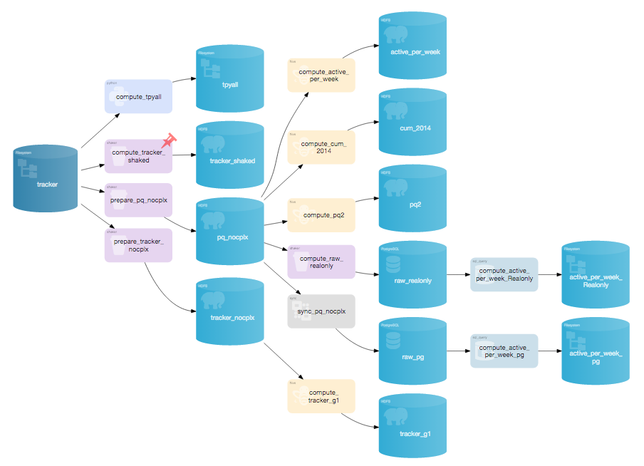
Version 1.4 – January 2015
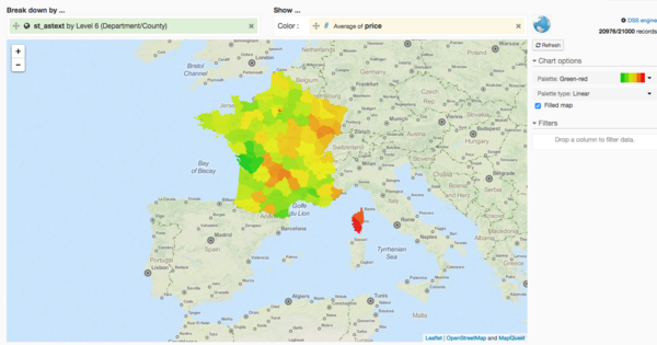
Geographic data visualization (BETA)
Automatically display your geographic data on beautiful maps.
Also includes many new
geo-related features.
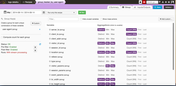
New visual data transformations
Do more without code with DSS
- Group and aggregate rows (in-memory, in-database or on-Hadoop)
- Split datasets
- Filter rows
Enhanced enterprise security
Improved integration with enterprise security architectures
- Interact with Kerberos-secured Hadoop clusters
- Connect DSS to your enteprise LDAP directory
Version 1.3 – October 2014
Advanced clusters profiling
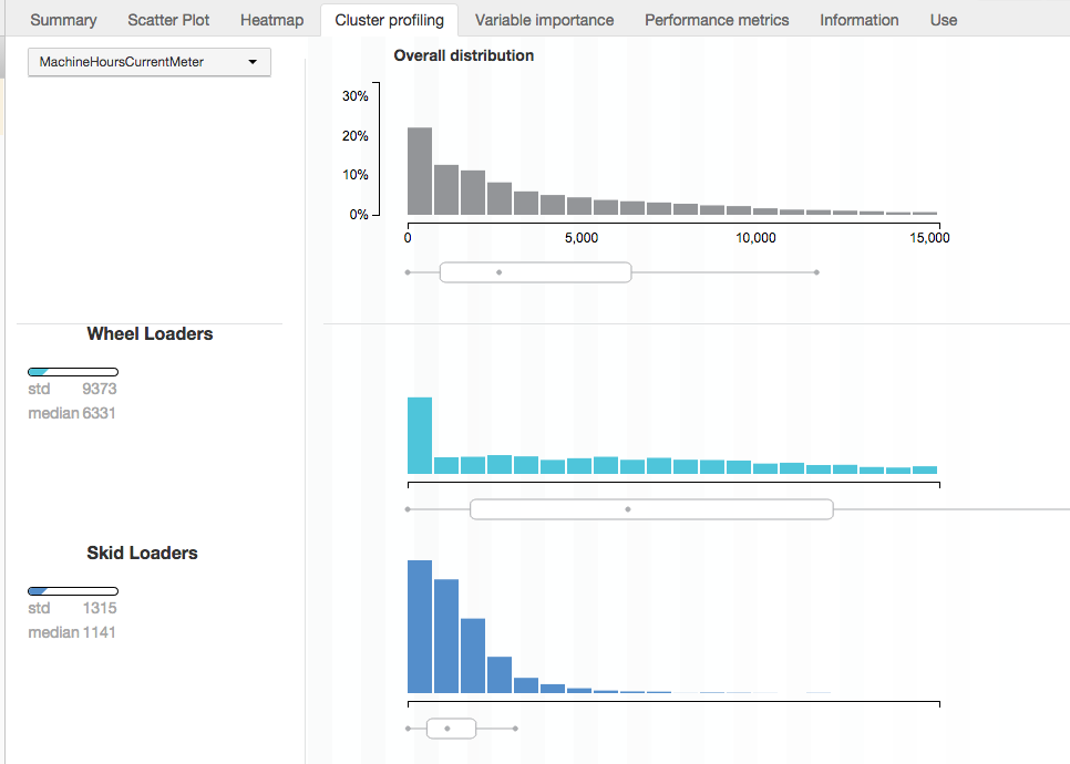

New visualizations and insights let your explore the results of your clustering
models.
- View and compare data distributions
- DSS automatically generates the most prominent facts for each dataset
- Give labels and descriptions to your clusters
New R support
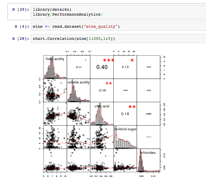
Do you use the R langage for your data analytics ? DSS now has advanced R integration
- Read and write datasets on any storage
directly from R - R notebook for interactive work
Hadoop File Formats
DSS now has support for many new Hadoop file formats. Including Pig, Hive, Impala and complex types support
- Avro
- Parquet
- Sequence files
- RC and ORC files
More flexibility for complex data flows
- Preview your jobs and understand how your datasets interact
- New features for advanced partitioning
And much more in DSS !
Read our
release notes
and our
blog posts
for more details.
